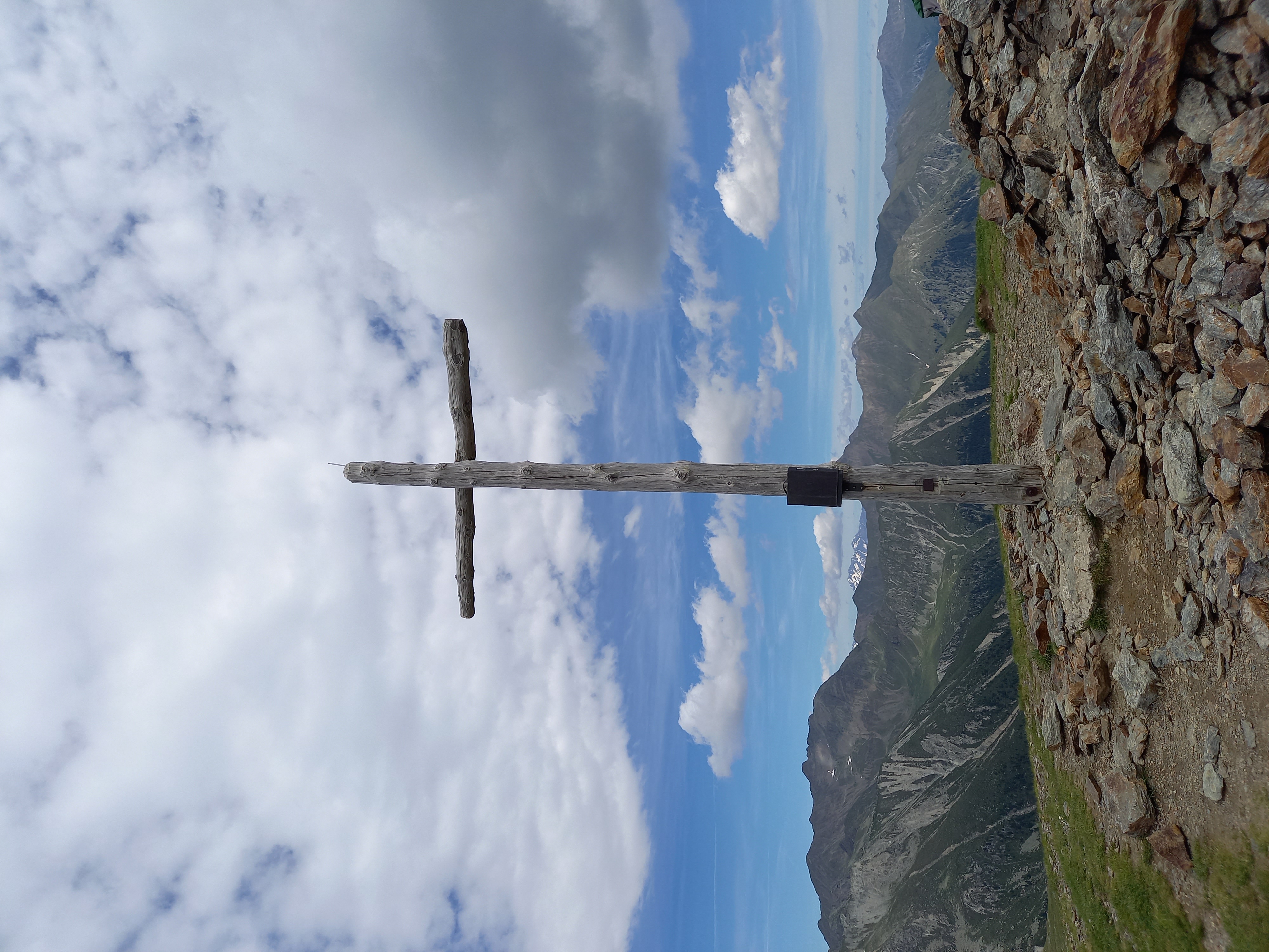
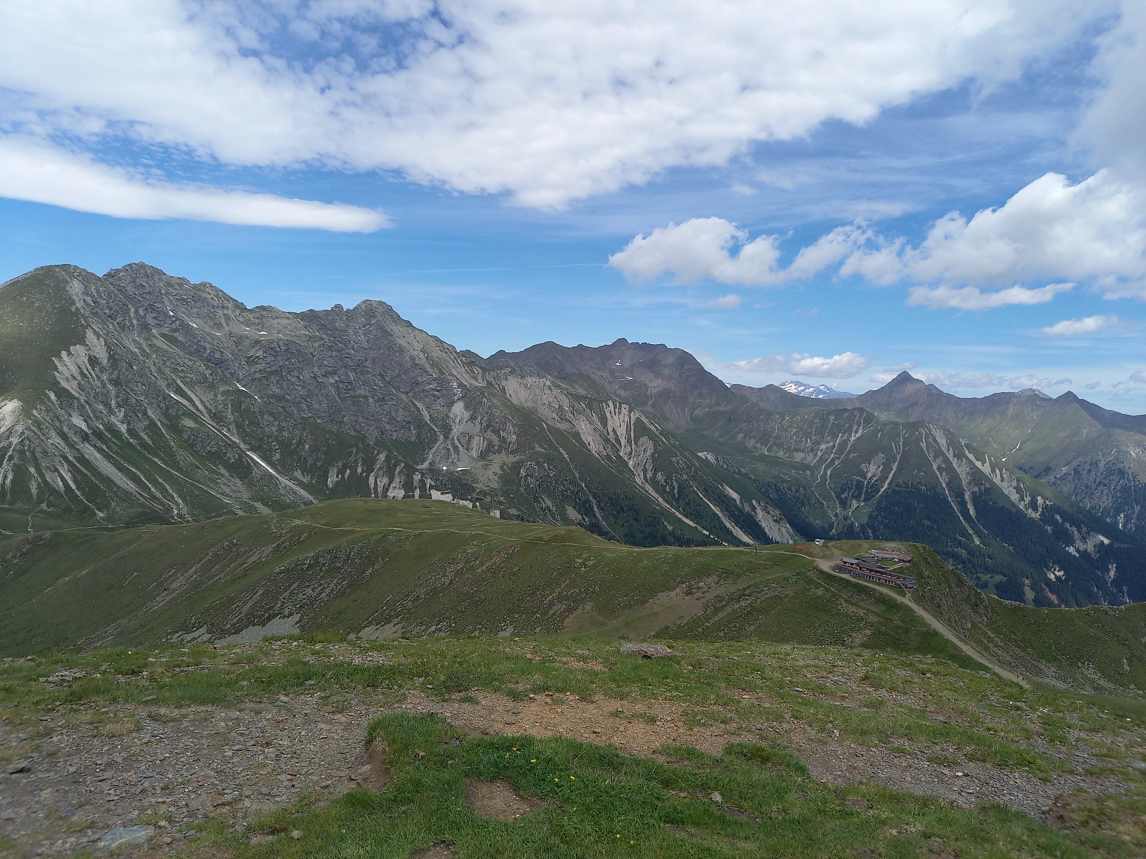
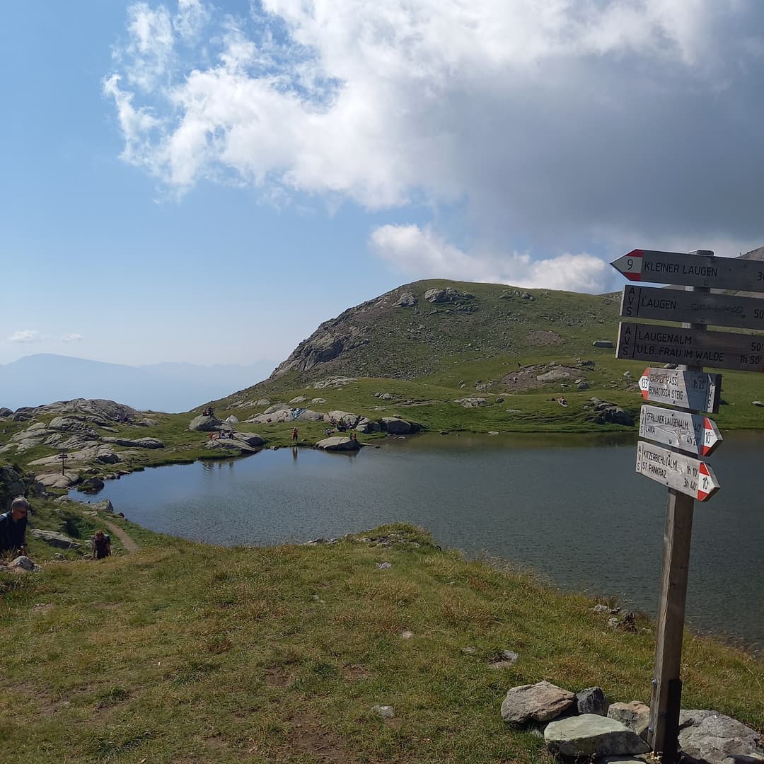
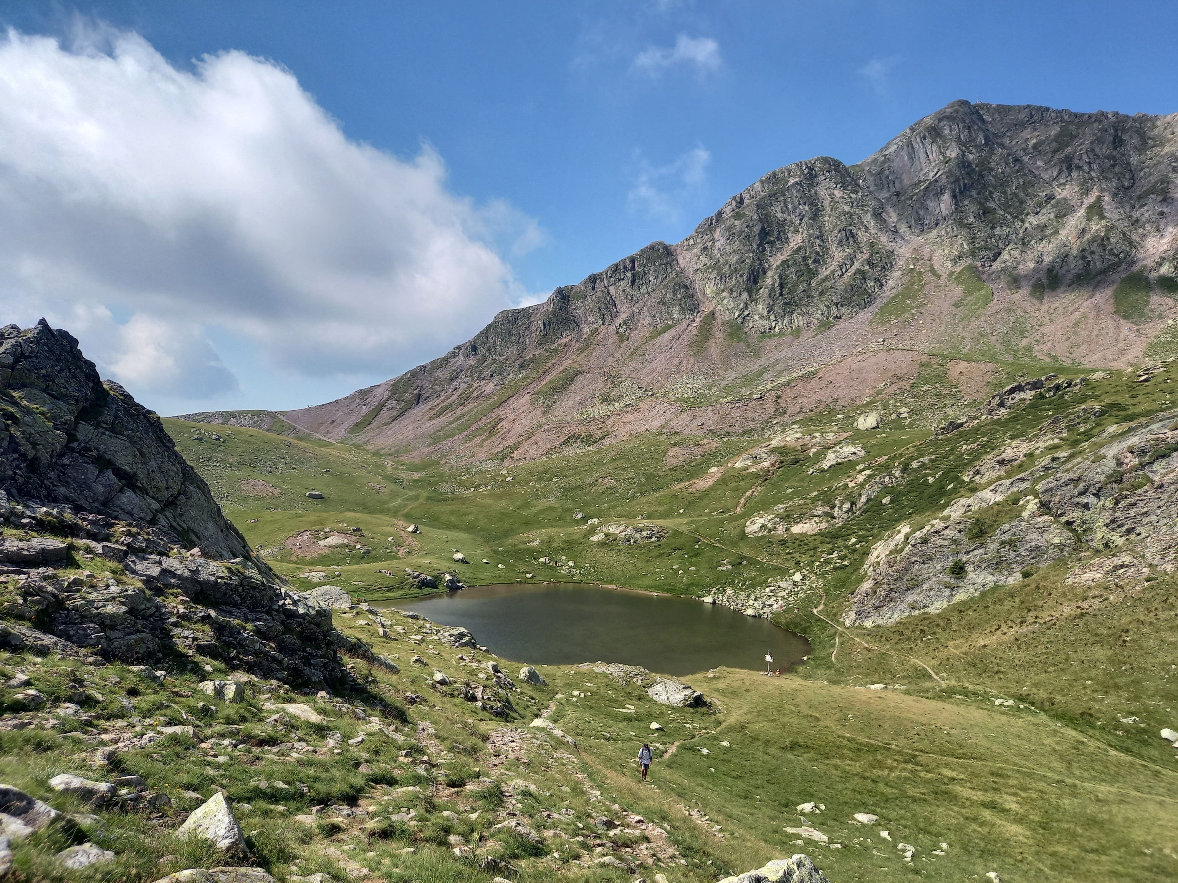
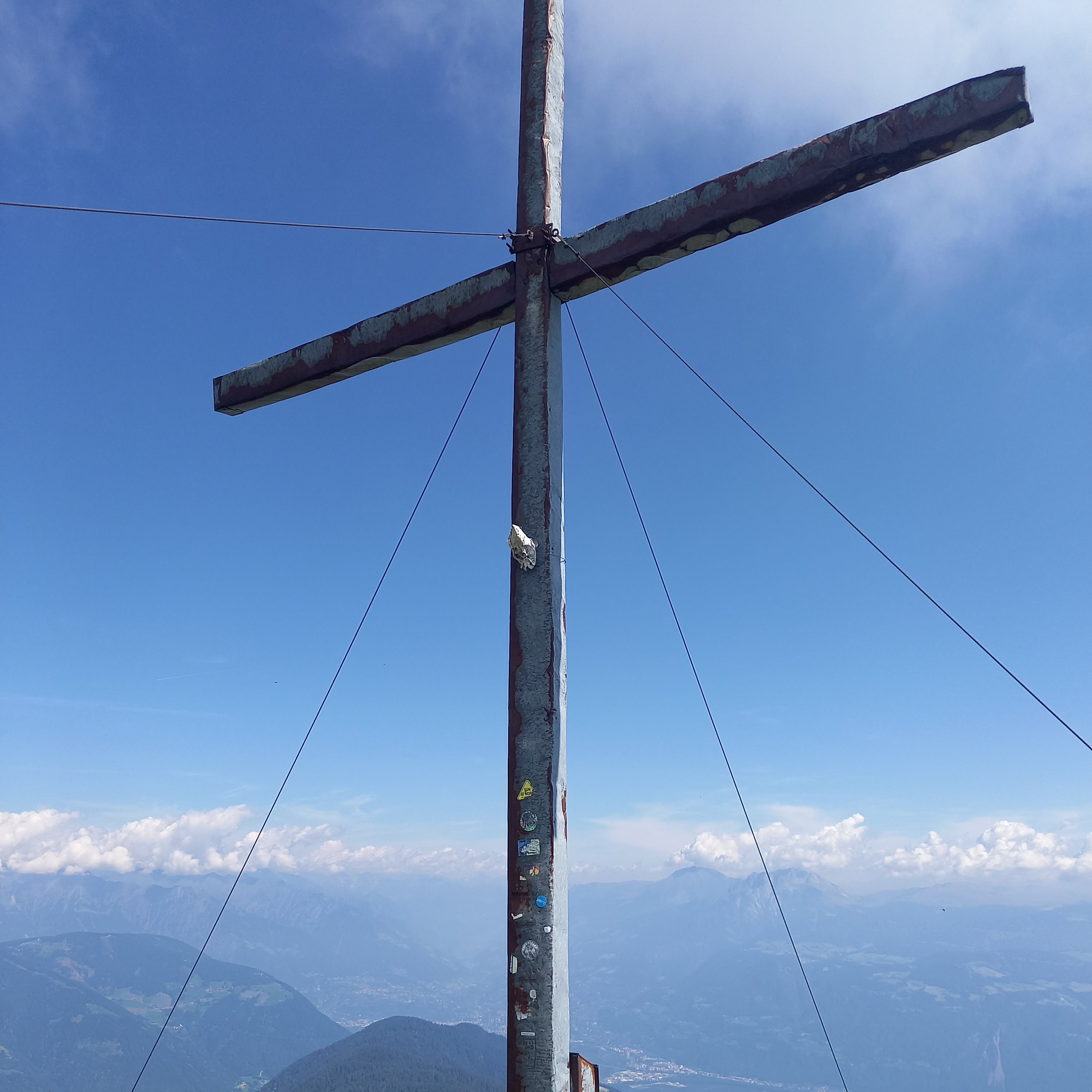
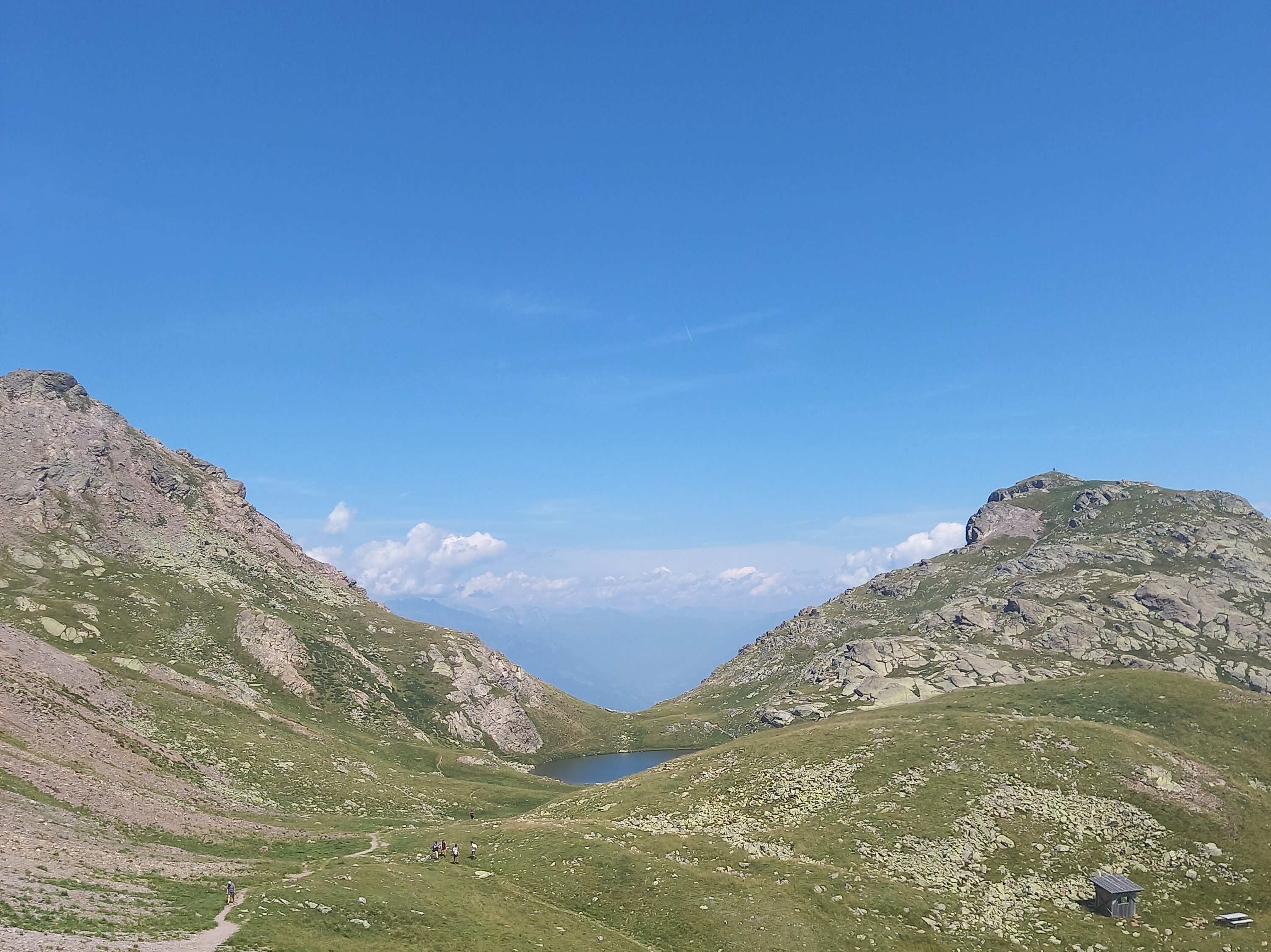
Laugen-lake and his little Laugen-peak (2297m)
Details:
Arrival and parking: Gampenpass
Route: Gampenpass - Laugenalm: 1.10 h.
Laugenalm - Laugen: 1.50 h..
Ascent:ca. 3.00 h.
Altitude: 916 m
Descent: ca. 2.30 h.
Route
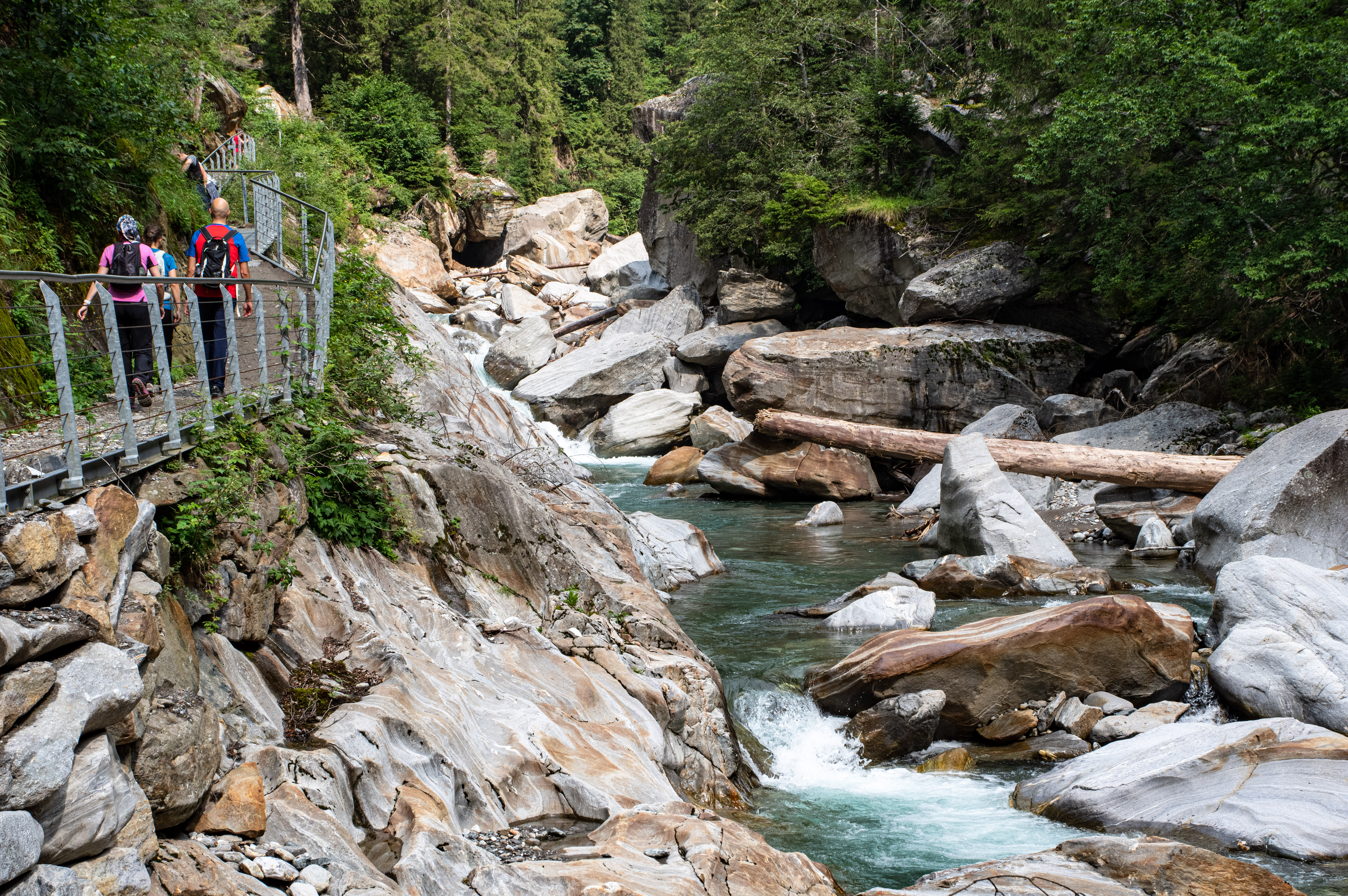
STARTING POINT: St. Leonhard
END POINT: Moos
SPECIAL FEATURES
Rest points are provided in St. Leonhard, Moos and Platt
Tip: Visit to the Bunker Museum in the centre of Moos with the topics of archaeology, contemporary history, Texelgruppe Nature Park, ibexes and Schneeberg.
Trail not suitable for prams and pushchairs
closed 01.12. – 28.02.
PARKING
S. Leonardo
PUBLIC TRANSPORT
With the train to Meran and the bus to St. Leonhard. Information on the bus service at www.sii.bz.it
Finding the route for public transport in South Tyrol
DIRECTIONS
Through the Etschtal Valley to Meran in the direction of Passeier Valley to St. Leonhard.
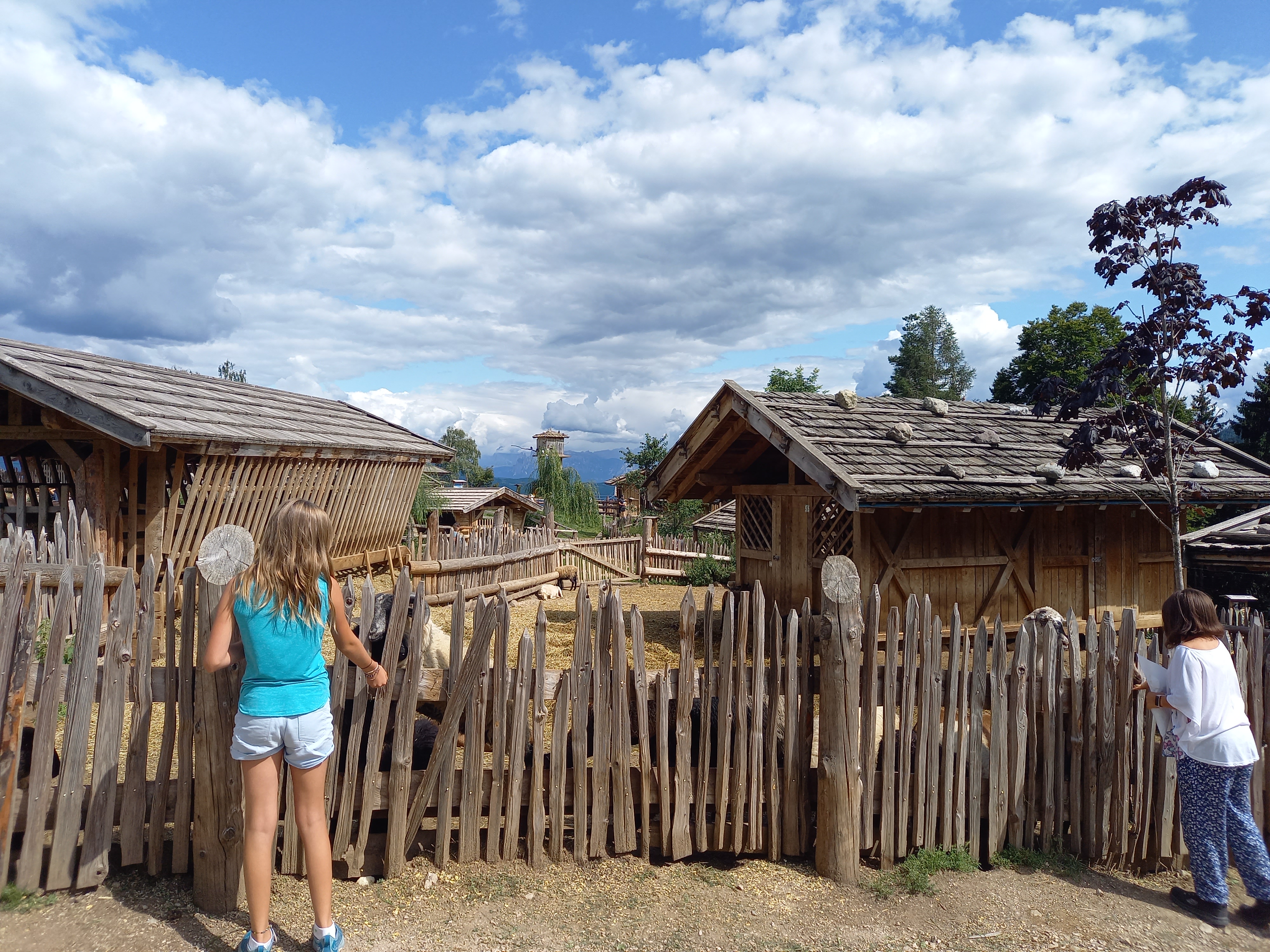
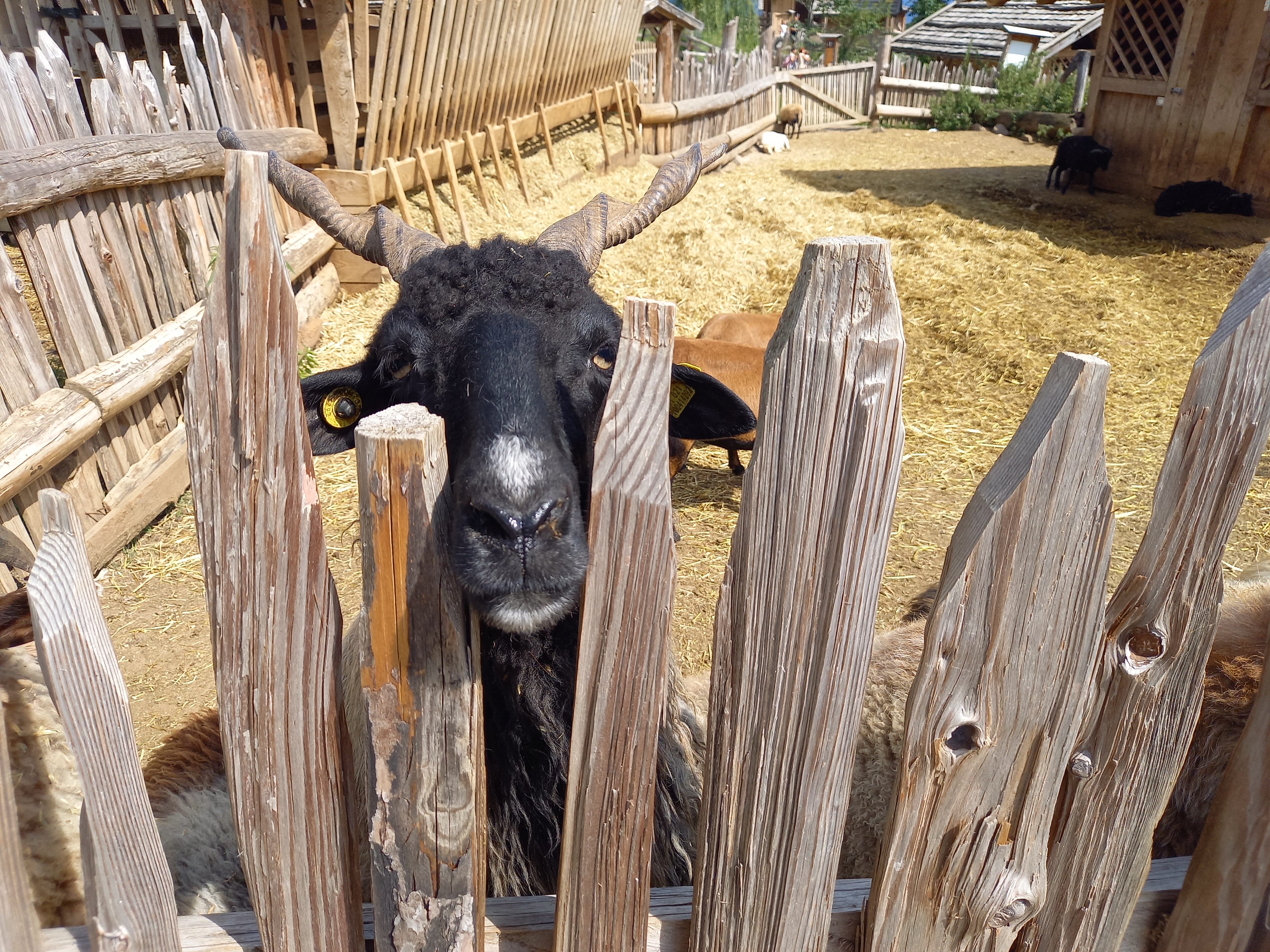
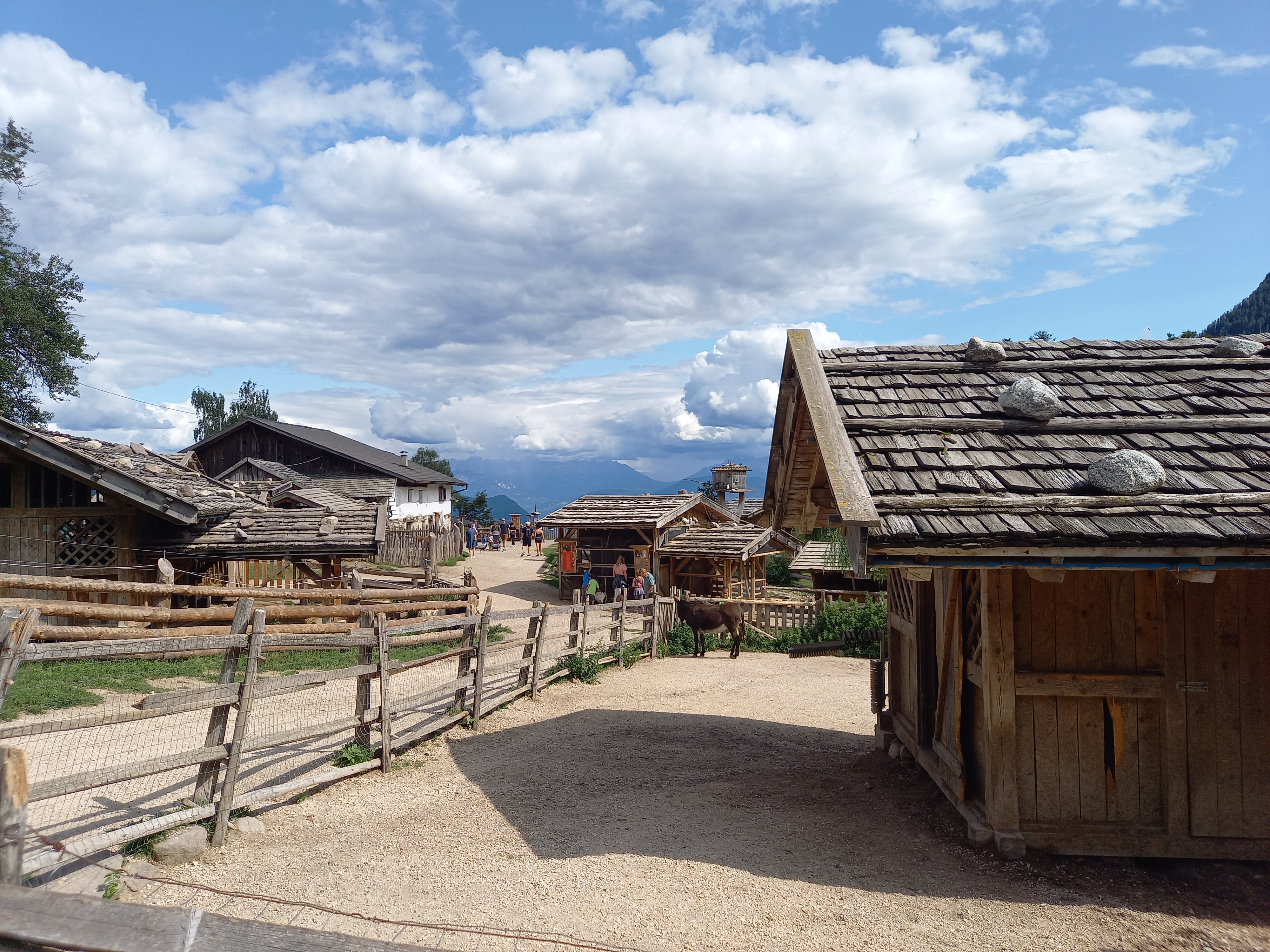
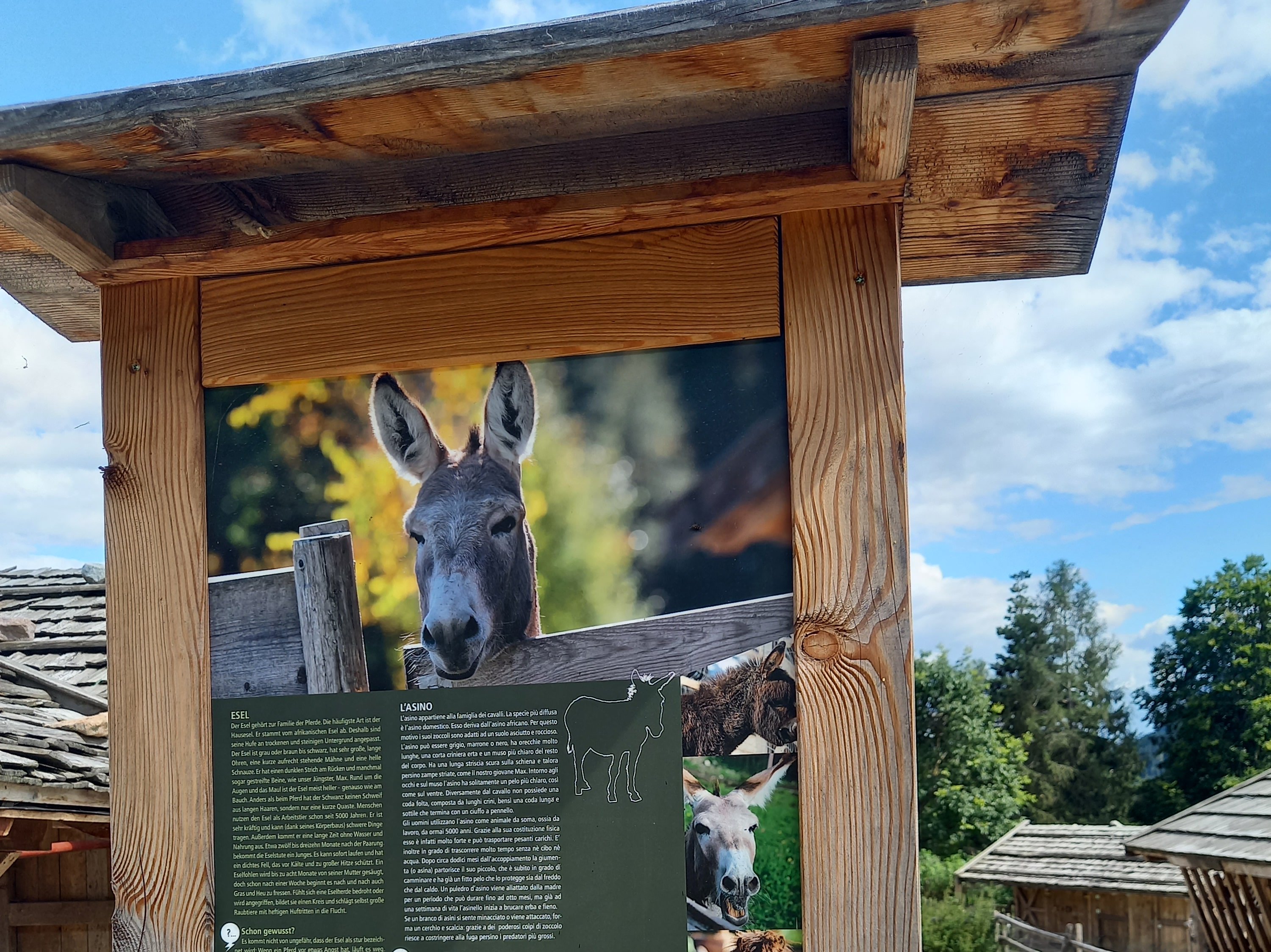
Animals world at the Rainguthof
For our little guest
Approach: in direction to the Passo Palade to Caprile, after the restaurant Bad Gfrill 1 km on the right side
30-40 min. from Schenna
Parking place available
Entry: voluntary donation
Open all year